Storm Charles Hits Catalonia Overnight With Wind and Wave Alerts
Storm Charles reaches Catalonia Wednesday night, with a level 2 of 6 wind alert and level 3 of 6 sea alert. Rain is brief; weekend forecast inside.
Storm Charles, a deep Atlantic low-pressure system named by Spain’s weather agency AEMET and the Portuguese weather service, reaches Catalonia on the night of Wednesday, Nov. 11. The Servei Meteorològic de Catalunya (Catalan weather service) has issued a warning of up to level 2 out of 6 for strong wind and up to level 3 out of 6 for rough seas.
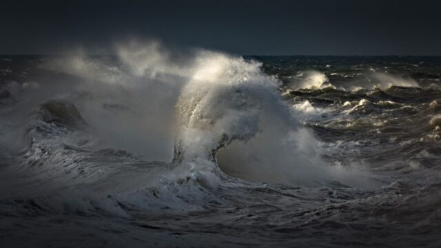
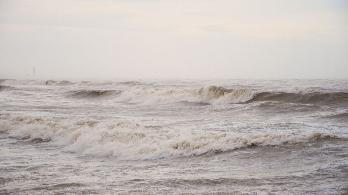
The rain will be short and light across most of the region. The sea is the bigger concern: the Barcelona coast is among the areas where waves are expected to pass 2.5 metres on Thursday.
A fast storm that arrives weakened
Charles is expected to hit the southwest of the Iberian Peninsula and central and southern Portugal hardest, with very intense rain, thunderstorms and strong gusts, according to the Barcelona broadcaster betevé. By the time it reaches Barcelona and the rest of Catalonia it will be weaker. Betevé reported that the latest forecast scenarios put the storm’s centre on a path that could even cross Catalonia.
The regional news site El Nacional (go.eln.cat) describes Charles as undergoing explosive cyclogenesis, meaning a sudden deepening of the low-pressure system. It says the storm will cause a sharp drop in atmospheric pressure over the next 48 hours and calls it a brief, fast-moving change of weather. A second system, storm Bruna, has been sitting in the Atlantic since Sunday and is expected to stay there until Friday. For Catalonia it means mostly cloud and little rain.
Rain: three or four hours at night
Wednesday starts with clear spells and fog. Clouds thicken from west to east after midday, and rain begins in the afternoon on the southern slope of the Pyrenees, in the western plains and in the south of Tarragona province. According to El Nacional, the main band of rain arrives between evening and night. It should reach the Lleida, Tarragona and Barcelona areas before midnight, light to moderate and without thunderstorms in principle. Snow is expected only at very high altitude.
The episode is expected to last three or four hours at most. Most of Catalonia should see under 10 litres, with the exception of Lleida province. The southern slope of the western Pyrenees could collect 40 or 50 litres, mainly around the Vall Fosca and the Vall de Boí. Betevé said the rain is concentrated between Wednesday night and early Thursday and is not the most significant part of this episode.
Wind and sea warnings
Gusts could exceed 90 km/h at high altitude in the Pyrenees, in the pre-coastal mountains and in the Serralada Transversal range, which is the basis of the level 2 wind warning, according to betevé. No wind warning is in force on the coast, though gusts above 60 km/h are possible right at the shoreline, mostly in the early morning and morning on Thursday. El Nacional expects westerly and northwesterly winds to bring gusts of 80 or 90 km/h at times to the southern third of Catalonia once the rain has passed.
The level 3 sea warning covers a high probability of waves above 2.5 metres, mainly along the Barcelona coast and the Costa Brava. Alt Empordà is the exception, because it is sheltered from the southwesterly winds. Betevé said average waves could exceed 3.5 metres in exposed areas and top five metres out at sea. El Nacional gives a range of 2 to 3 metres for the coast.
Within the Barcelona coastline, the Garraf and Baix Llobregat areas are more exposed to these winds than the city’s own beaches, betevé said, though it cautioned that nobody should let their guard down.
What this means for Thursday and Friday
The sea storm is expected to last only Thursday. The wind turns west in the evening and pushes the roughest conditions out toward Corsica and Sardinia. Some swell is still forecast for Friday, according to betevé.
Temperatures stay high for now. Maximums of 20 °C to 25 °C are forecast for Wednesday, and El Nacional says the mild spell of Sant Martí (a late-autumn warm period) is nearing its end. Thursday brings fog in places after the rain and a slow drop in temperature that will not yet feel cool.
Forecast through the weekend
Friday should be sunny and windy, with a local shower possible in Empordà and the last hours of the northwesterly mestral wind, increasingly confined to the Camp de Tarragona. A weak front on Saturday brings scattered light rain and temperatures mostly below 20 °C. El Nacional expects no storm or heavy rain. Sunday looks more settled, with passing clouds and some minor rain in the west or south of Catalonia.
Sources: go.eln.cat, betevé