Strongest El Niño in 75 Years Points to a Mild Winter in Barcelona
Meteocat and AEMET say the strongest El Niño in 75 years brings no storm to Barcelona but points to a mild winter with rain and snow inland and in the Pyrenees.
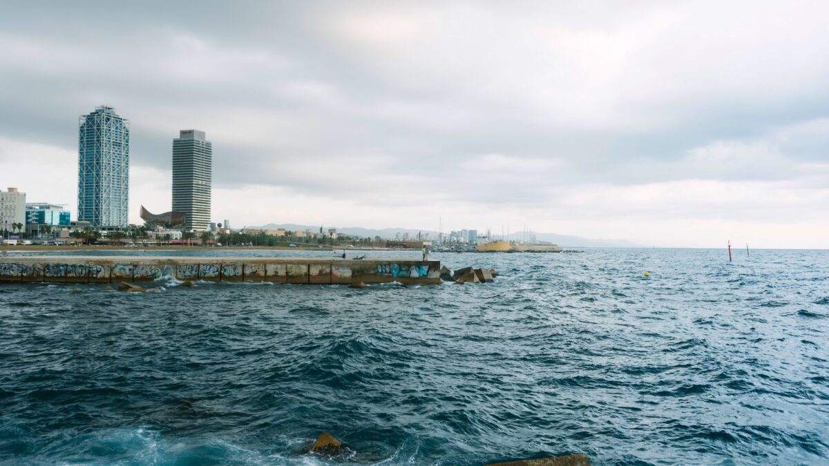
The Pacific is going through its most intense El Niño in 75 years, and Catalonia’s weather service says it is already shaping storms that reach the Iberian Peninsula. For Barcelona, forecasters expect a winter warmer than usual on the coast, with most of the heavy rain and snow falling inland and in the Pyrenees.
Social media posts in recent days spoke of an imminent “El Niño storm” heading for the Catalan coast. The Servei Meteorològic de Catalunya (Meteocat, the Catalan weather service) and the Agencia Estatal de Meteorología (AEMET, Spain’s national weather agency) have both said no such storm is on the way, according to Metrópoli Abierta.
What forecasters mean by a “Superniño”
El Niño is an unusual warming of the equatorial Pacific Ocean. International records show sea temperatures this autumn running more than three degrees above normal, the largest departure in 75 years, which is why some meteorologists call this episode a “Superniño”.
Meteorologists at both agencies stress that El Niño is a global climate pattern. It has no landfall date and does not arrive as a single storm. It can, however, shift atmospheric currents thousands of kilometers away, and Europe is within its reach.
Storm Charles as a first sign in Catalonia
Meteocat director Sarai Sarroca and specialists Toni Barrera and Vicent Altava say the pattern became visible in the atmosphere this week. Storm Charles crossed the region fed by an atmospheric river, a long band of moist subtropical air. Meteocat sees this as an early example of how the warm Pacific pushes more active Atlantic fronts toward Spain.
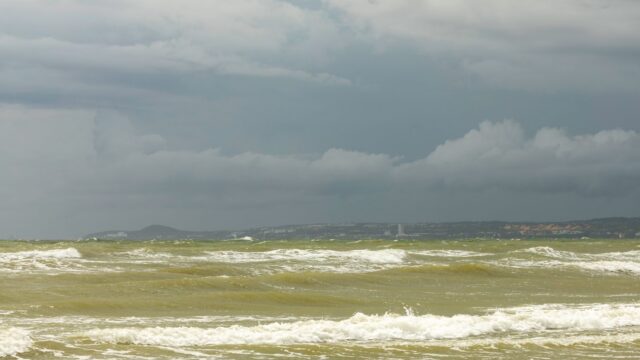
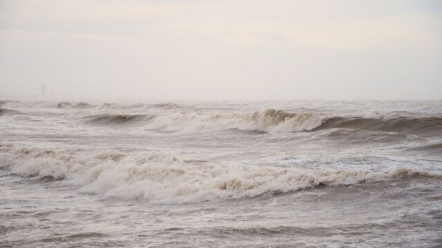
Charles followed storm Bruna. Between them they brought gusty wind and rough seas, with rain falling mostly inland and in the northwest of Catalonia.
What this means for Barcelona this winter
In the short term, nothing severe is forecast for the city. Barcelona has a transitional weekend ahead, with changeable skies, mild air, highs between 18 and 20 degrees and a very low chance of rain.
For the coming weeks and the start of meteorological winter, the seasonal outlooks from Meteocat and AEMET depend heavily on Catalonia’s terrain:
- Winds from the west and southwest are expected to drive wetter Atlantic storms into the region.
- The western half of Catalonia and the southern slopes of the Pyrenees and Pre-Pyrenees should see the most benefit, with heavy rain and snow possible.
- Barcelona and the central coast usually get these fronts in a weakened state after they cross the peninsula, so the city tends to see more wind and rough seas than large rain totals.
- Steady flows of warm subtropical air point to the end of 2026 and the start of 2027 being warmer than average on the Barcelona coast.
For commuters and anyone near the seafront, the practical result is a winter more likely to bring blustery days and choppy water than repeated downpours in the city. Skiers and people heading to the mountains have more reason to watch the forecasts, since the Pyrenees are where the outlook calls for abundant snow.
Cold snaps are still possible
The mild outlook has an exception. Meteocat warns that this strong El Niño, combined with a weakening of the polar vortex (the band of cold air that normally circles the Arctic), could let pockets of very cold air drop south at points during the winter. Those episodes could bring sharp changes in the weather within a few days, even in a season that is warm overall.
Source: Metrópoli Abierta